Every construction project begins with the land. While a site may appear ready for development, hidden challenges known as site constraints often lie beneath the surface. Left unaddressed, these constraints can lead to unexpected delays, design changes, and substantial cost overruns.
Civil engineers play a critical role in identifying these issues early and developing solutions that keep projects on track. In this article, we explore common site constraints, how engineers detect them, and proven methods to mitigate risks before they become expensive construction problems.
What Are Site Constraints in Civil Engineering?
Site constraints refer to natural, physical, or regulatory limitations that affect how land can be developed. They may include:
- Topography – steep slopes, uneven grades
- Soil conditions – weak soils, expansive clays, or poor bearing capacity
- Hydrology – drainage, flooding, or high groundwater levels
- Utilities and infrastructure – existing underground or overhead services
- Regulatory restrictions – zoning codes, easements, and environmental considerations
When these issues are discovered late often during construction the cost of redesigns, delays, and corrective measures increases significantly.
How Civil Engineers Identify Site Constraints Early
- Comprehensive Site Surveys
Advanced surveying tools, such as drones and LiDAR, allow engineers to capture accurate topographic data. This helps identify slope variations, boundaries, and existing obstacles at the planning stage.
- Geotechnical Investigations
Soil borings and laboratory tests determine soil strength, groundwater levels, and subsurface variability. These insights inform foundation design and earthwork requirements.
- Utility and Infrastructure Mapping
Ground-penetrating radar and utility records are used to locate underground lines, minimizing the risk of costly utility conflicts during construction.
- Hydrological and Drainage Studies
Engineers analyze stormwater flow, runoff patterns, and floodplain maps to design efficient drainage systems that protect both the site and surrounding areas.
- Regulatory and Zoning Reviews
Early coordination with planning authorities ensures compliance with local codes, environmental laws, and easement restrictions, reducing the risk of approval delays.
Real-World Application: Preventing Cost Escalation
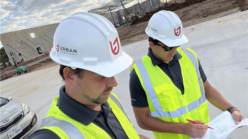
At Urban Strategy, our team has resolved a wide range of complex site challenges across Texas from unstable soils to aging utility infrastructure.
For example, during a project in Dallas, geotechnical testing revealed unstable soil with a high water table. Instead of costly redesigns during construction, engineers implemented a subsurface drainage system and reinforced foundations. This proactive solution safeguarded structural stability and reduced overall project costs by an estimated 15%.
Another local project demonstrated the importance of reviewing utility conditions early. As-built plans showed multiple sanitary connection options. Before committing to a final design, we hired a firm to camera both lines—a step that proved invaluable. The line originally under consideration was found to be broken in several locations, with wastewater leaking into the ground beneath the street. When we shared our video with the city, they were shocked by the unseen damage. Catching this issue before construction prevented a major and costly redesign.
In older downtown areas, conditions like these are more common. Proactively evaluating utility options especially by inspecting existing lines with cameras can save developers significant time, money, and environmental impact.
Key Takeaway: Early utility inspections can uncover hidden risks, prevent costly redesigns, and keep projects moving forward on time and on budget.
Conclusion
Identifying and resolving site constraints is essential to delivering successful projects on time and within budget. Civil engineers bring the expertise, tools, and foresight necessary to transform potential obstacles into manageable design solutions.
For developers and project owners, partnering with an experienced civil engineering firm helps mitigate risks before they escalate into costly construction problems.
At Urban Strategy, our team of engineers and surveyors provides site planning, geotechnical coordination, and construction support across Dallas, Fort Worth, and Austin. We help clients move forward with confidence, knowing that potential site constraints are addressed well before construction begins
FAQ
Q1. What makes site constraints in Texas different from other states?
Texas projects often face clay soils, flooding zones, and utility congestion. Local civil engineers understand these regional challenges and plan ahead to prevent costly delays.
Q2. How early should developers involve a civil engineer in Dallas projects?
The best time is before land purchase or planning approval. Early involvement helps identify risks like zoning restrictions, soil issues, or easement conflicts.
Q3. Can modern surveying technology reduce construction costs?
Yes. Tools like LiDAR, drone mapping, and 3D modeling provide precise site data, which reduces errors and redesign costs.
Q4. Why is local knowledge important in Austin, Richardson, or Fort Worth?
Every city has unique zoning laws, soil conditions, and infrastructure patterns. A local engineering team ensures compliance and avoids region-specific pitfalls.
Q5. How does Urban Strategy help developers save money?
By detecting risks early, designing efficient solutions, and applying local expertise, Urban Strategy prevents unexpected expenses and keeps projects on track.